A United Nations vote has supported wider use of an Equal Earth map that presents land areas in their correct relative proportions.
Why projection choices matter
The familiar Mercator projection preserves local angles, which made it useful for navigation, but it greatly enlarges regions near the poles. Africa and other equatorial areas therefore appear much smaller relative to Europe, Greenland and North America than they actually are.
Equal-area projections change shapes somewhat while preserving comparative size. Supporters say the shift improves geographic literacy and counters a visual convention with political and educational consequences. Adoption will depend on schools, publishers and public institutions updating their materials.
Sources

Mehmut is a scholar, author and political commentator specializing in relations between Turkey and the European Union. He earned his PhD in the United States, where his doctoral research examined the political, diplomatic and institutional dimensions of EU–Turkey relations.
Throughout his academic and professional career, Mehmut has written numerous articles addressing Turkey’s relationship with Europe, democratic development, social justice, political reform and the country’s changing role in regional and international affairs. His work combines academic analysis with a strong interest in the practical challenges confronting Turkish society.
Mehmut is committed to promoting a democratic, secular and socially just Turkey founded on equality, human rights, freedom of expression and the rule of law. He advocates peaceful political participation, accountable public institutions and policies that protect workers, disadvantaged communities and citizens from every section of society.
Through his research and writing, Mehmut seeks to contribute to informed public debate about Turkey’s future. He believes that meaningful democratic reform, social solidarity and constructive engagement with Europe can help Turkey build a fairer, more inclusive and more prosperous society.
 Mehmut Naser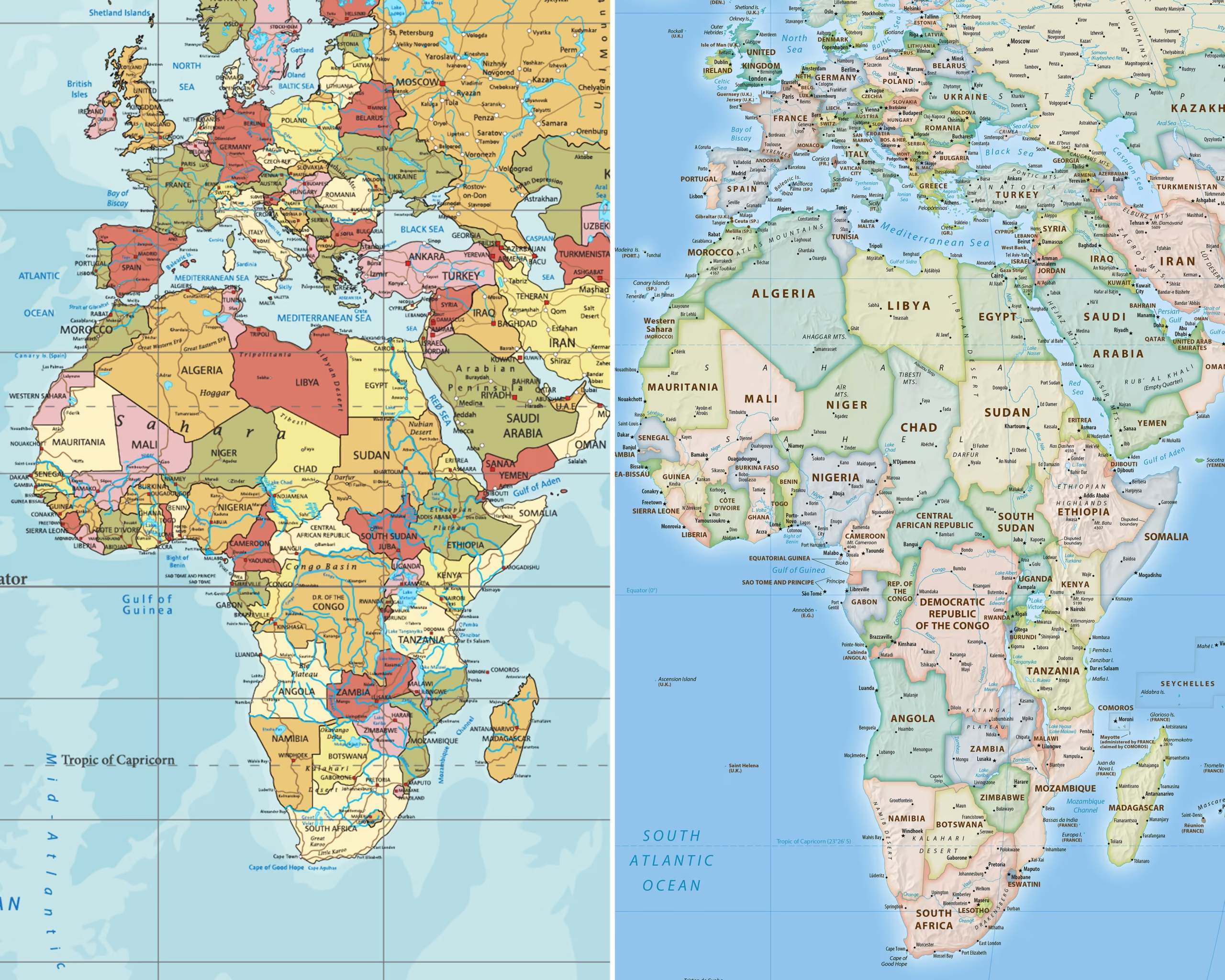
 Zeynep Aziz